
Vexcel Spells Excellence for Earth and Space
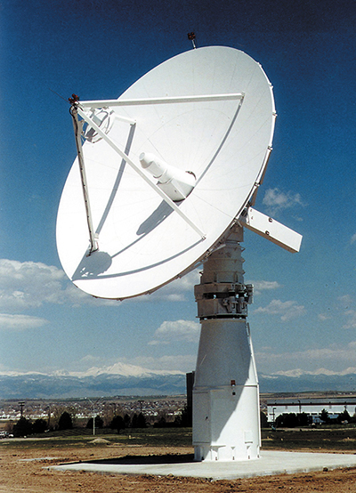
A remote sensing satellite ground station based on the turnkey system specially designed for direct reception and processing of data from NASA's Terra satellite and follow-on missions is now commercially available to users in search of a quick and affordable means to capture geographical information. To date, satellite ground stations have appealed to renowned scientific groups, academic institutions, and commercial users that are interested in remote sensing data acquisition, not to mention the potential economic incentives they could reap from direct reception. Despite this appeal, the high costs associated with obtaining and operating a remote sensing ground station make ownership an implausible option for some national remote sensing centers worldwide.
An economical solution to this problem emerged from a Small Business Innovation Research (SBIR) contract involving NASA's Stennis Space Center and Vexcel Corporation of Boulder, Colorado. With assistance from Stennis, Vexcel was able to strengthen the properties of its Apex Ground Station,™ an affordable, end-to-end system that comes complete with a tracking antenna that permits coverage within an approximate 2,000-kilometer radius of its location, a high speed direct-to-disk data acquisition system that can download information from virtually any satellite, and data processing software for virtually all synthetic aperture radar (SAR) and optical satellite sensors. Vexcel also offers training, installation, and ongoing support with the ground station package. Furthermore, transportable systems, larger and smaller antennas, and processing capabilities for a variety of sensors are also available options. Apex Ground Station customers can select processing capabilities for a range of Earth Observation Satellites, including LANDSAT, MODIS, and Quickbird.
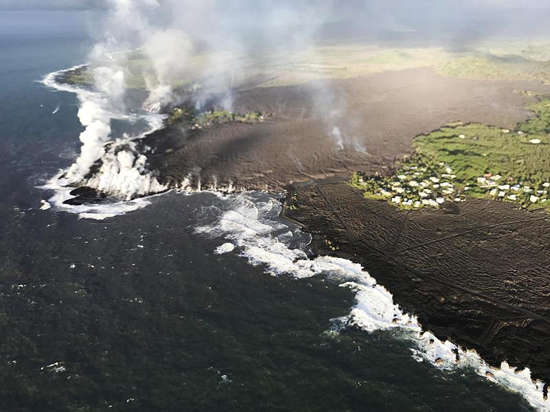
Vexcel is using an Apex system linked to the Terra satellite to help scientists and NASA personnel measure land and ocean surface temperatures, detect fires, monitor ocean color and currents, produce global vegetation maps and data, and assess cloud characteristics and aerosol concentrations. The systems have been sold to customers worldwide, including the Alaska SAR Facility, a NASA Distributed Active Archive Center that acquires, processes, archives, and distributes satellite SAR data for the U.S. Government and research communities.
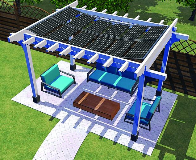
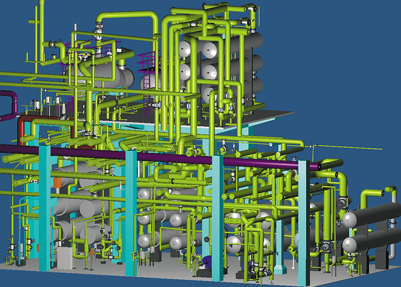
In addition, Vexcel is providing NASA with close-range photogrammetry software for the International Space Station. The technology, commercially available as FotoG,™ was developed with SBIR funding and support from NASA's Jet Propulsion Laboratory (JPL). Commercially, FotoG is used for demanding projects taken on by engineering firms, nuclear power plants, oil refineries, and process facilities. It offers engineers and computer-aided design (CAD) professionals with an in-house capability to process photographic images to gain accurate field measurements and create three-dimensional, as-built CAD models.
NASA is currently utilizing FotoG to extract complex measurements from digital images for a host of projects onboard the Space Station. Beyond aerospace, FotoG's application areas include process and manufacturing, petrochemical, power, pulp and paper, equipment design and installation, shipbuilding, construction, X-ray evaluation, forensics, cinematic special effects, architecture, and automotive.
For example, FotoG contributed to the reengineering of equipment used to process radioactive material. In this application where two pieces of the apparatus were not produced to design specifications, the processing equipment only had an operating life of 2 years, compared to the originally intended life expectancy of over 10 years. Thus, it became necessary to manufacture additional pieces identical to the prototype. Vexcel's photogrammetry application determined critical dimensions and other high-precision measurements, and then produce an accurate 3-D model of the equipment in just 2 hours. A version of Vexcel's close-range photo measurement system was also used to create virtual 3-D backdrops for a high-tech science fiction film.
Vexcel was founded in 1985 by a photogrammetrist who previously worked at JPL. John Curlander, Vexcel's president and chief executive officer since 1992, also worked at JPL for many years, prior to joining the company. Vexcel was recently selected to build Florida's new Center for Southeastern Tropical Advanced Remote Sensing, a state-of-the-art satellite data reception and analysis facility to be situated at the University of Miami's Rosenstiel School of Marine and Atmospheric Science. Supported by NASA, the new facility is slated to be fully operational by October 2002.
Apex Ground Station™ and FotoG™ are trademarks of Vexcel Corporation.
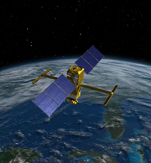
Vexcel provides complete remote sensing ground stations to receive and process data from imaging satellites.
A 3-D CAD model of a refinery from photography using Vexcel’s FotoG™ closerange photogrammetry software.