
Coral Expertise Finds Broad Application
Subheadline
Remote sensing company helps customers navigate data, guided by NASA know-how
When a Florida company wanted to incorporate new satellite data into its location forecasts for tuna, marlin, and other fish for offshore fishing tournaments, it called on Miami-based HySpeed Computing LLC.
HySpeed’s founder, James Goodman, has worked with space agency data since the early 2000s, when he was a NASA-funded Ph.D. student at the University of California, Davis, focusing on remote imaging of coral reefs.
There, as a NASA Earth Systems Science Fellowship recipient, he began writing code that he has used in several agency projects since then and that has also evolved into the foundation of the services his remote sensing company offers today.
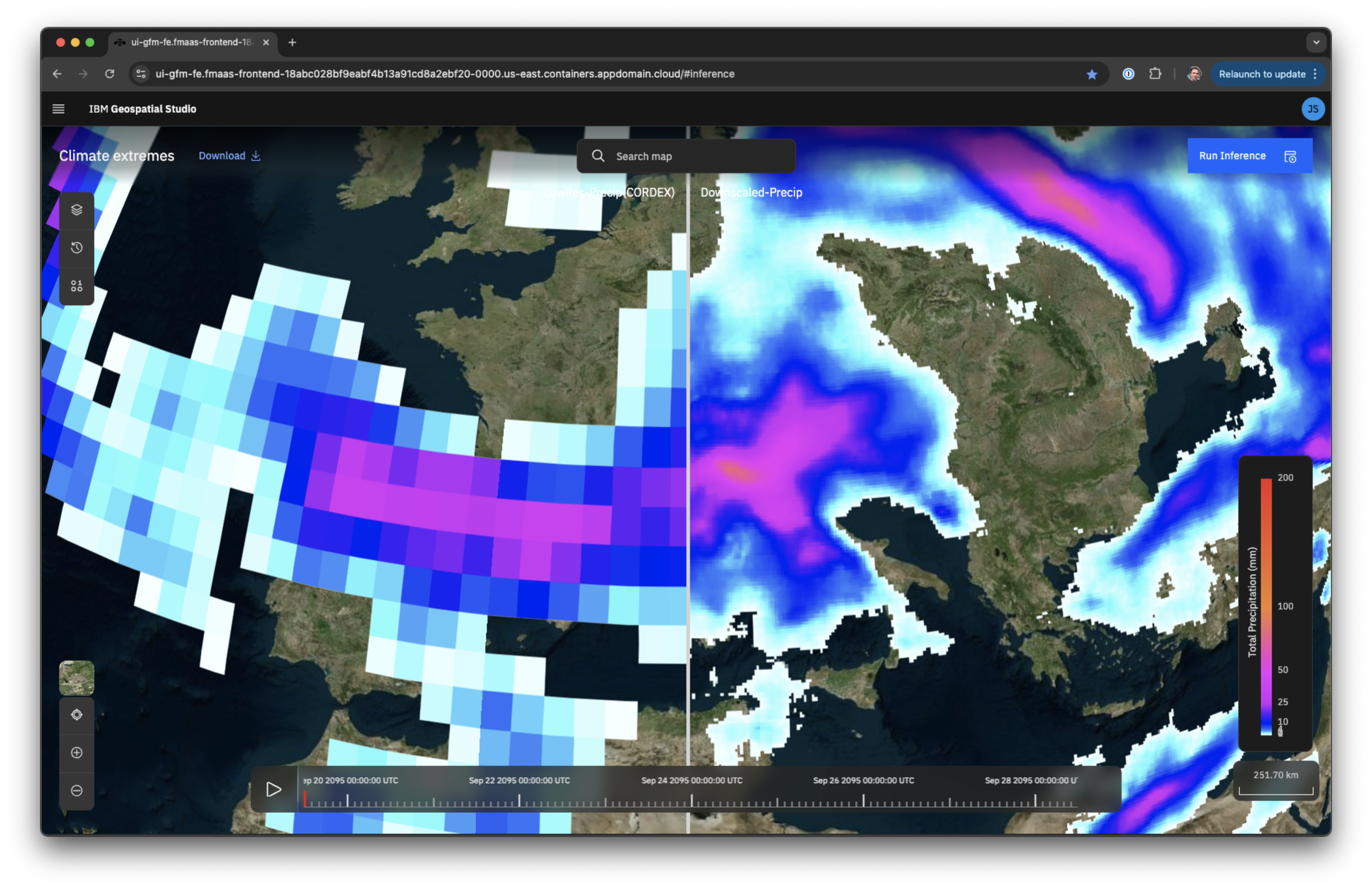
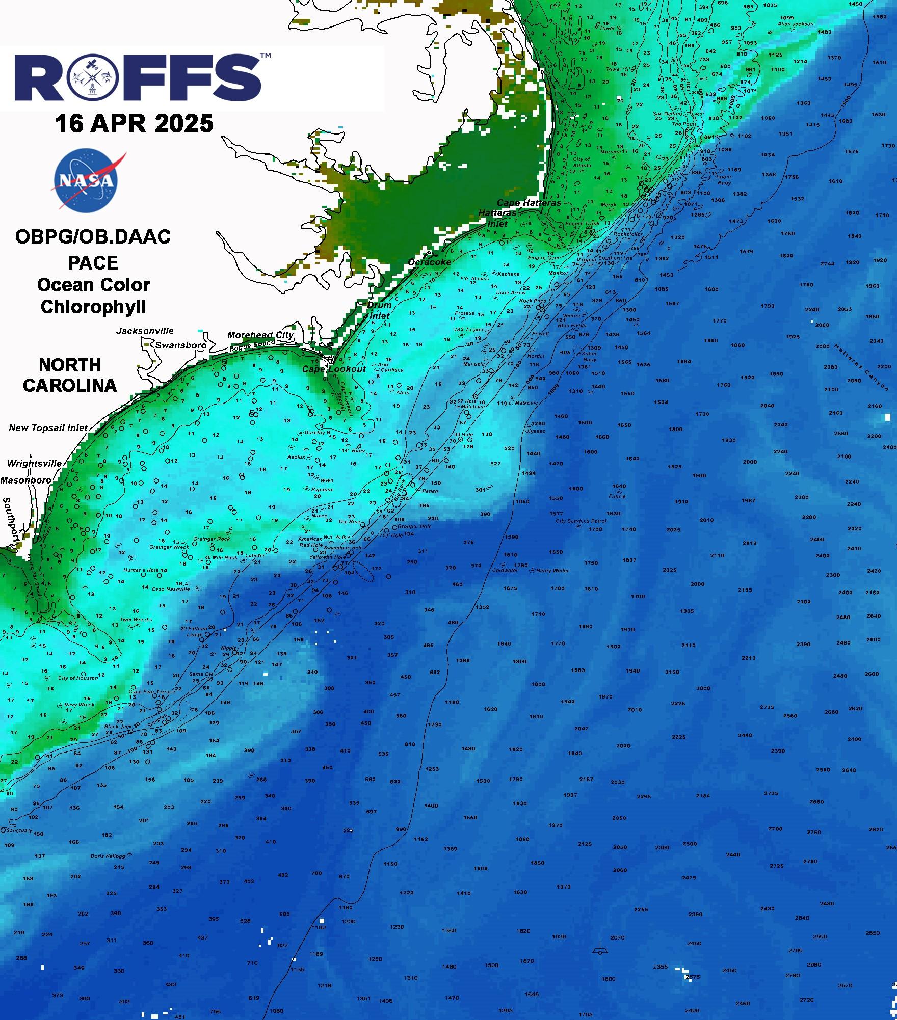
The fish forecasting company, ROFFS Inc., was interested in European Sentinel-3 satellite data to augment the satellite information it was already using. Goodman wrote an automated script to identify the relevant Sentinel data, automatically download it, and send it through a series of preprocessing steps before introducing it into the company’s existing analysis pipeline.
“The data is there, and companies can get to it,” Goodman said. “We just help them streamline that access and transform the data into formats or products they can more easily run through their own analyses.”
Complicated and Diverse Systems
NASA uses remote sensing to monitor Earth and other planets, often with sensors mounted on satellites or aircraft to detect reflected or emitted energy in greater detail than what is visible to the human eye. People can see red, green, and blue — a basic multispectral observation capability.
The space agency’s multispectral Landsat satellites orbit Earth collecting information in additional bands of the electromagnetic spectrum, including deep blues, violets, and infrareds. Hyperspectral imagers, meanwhile, which have been Goodman’s focus since his Ph.D. days, can monitor hundreds of bands, giving a broader, more detailed read on the spectrum.
Woody Turner, program scientist for biological diversity at NASA Headquarters in Washington, explained the space agency’s interest in imaging and studying nuanced environments. “Systems like rainforests with multiple species of trees in the canopy or coral reefs with multiple reefs and different types of algae — they’re complicated, they’re diverse, and that complexity is really well captured through these hyperspectral imaging spectrometer systems,” he said.
Increasingly high resolution helps detect smaller details in coral reefs, for instance, giving a more refined understanding of the environment as a whole.
“We care about coral reefs because we care about having a healthier system, we care about healthy fisheries, we care about maintaining biodiversity, we care about water quality and water health,” he said.
Automating a Reliable Approach
After earning his doctoral degree, Goodman went on to work on NASA-funded coral projects at the University of Puerto Rico, refining his software code along the way.
“I always felt I wasn’t just solving one question. I was focused on the code and developing software that could be applied at least regionally and ideally globally — wherever there are coral reefs,” he said.
“Beyond the academic side of this research, and beyond just looking at coral reefs, it soon became apparent that there was commercial potential for the types of applications I was developing, and it led me at one point to realize I could start a company based on this expertise.”
HySpeed Computing was founded in 2010, and in addition to private-sector clients, the company also still works with academics, including most recently a team at the University of the Virgin Islands that was setting up its remote sensing capabilities to monitor coastal sedimentation.
“They were looking at sediment plumes in the water column and wanted to explore options for automatically detecting and monitoring them,” Goodman said.
Working with HySpeed, the team identified the appropriate applications and algorithms, he said. “Then we worked on the question of, how do you take what you’ve now identified as a reliable approach and automate that?”
Space Computing
HySpeed has also continued to work with NASA, developing a web-based hyperspectral processing system for data collected from an imaging spectrometer on the International Space Station. Goodman said this work further informed his software, inspiring him to continue making his code more automated and user-friendly.
More recently, in a project aimed at enabling high-performance computing in space, HySpeed software made it to the space station itself, this time working with Hewlett Packard Enterprise’s Spaceborne Computer project, which runs a commercial, off-the-shelf computing system on the station (see page 12).
“As we move further away from Earth, crews are going to need more autonomy and computing power to do what they need instead of transmitting all that data back and forth,” Goodman said. “Instead of cloud computing, it’s space computing.”
Back on Earth, HySpeed continues to make remote sensing data more accessible, whether clients need it for conservation efforts or business efficiency. Goodman said his company is still working with ROFFS, developing new capabilities to improve the fish forecaster’s analysis products.
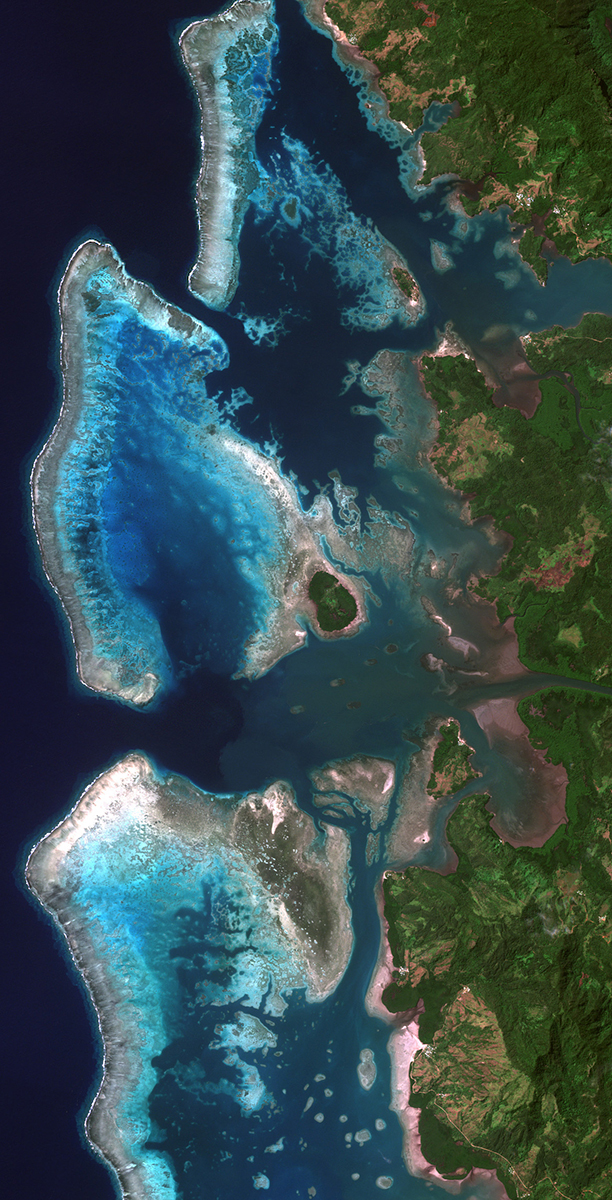
Coral reefs and reef flats along the northern coast of Vanua Levu, Fiji, mapped with Landsat 9 data processed by HySpeed Computing. Remote sensing enables large-scale monitoring and assessment of coastal ecosystems around the world. Credit: HySpeed Computing LLC
Variations in the seafloor at the southern tip of the Tongue of the Ocean, Bahamas, are made visible using Landsat 9 data processed by HySpeed Computing, whose founder has worked with space agency data since the early 2000s, when he was a NASA-funded Ph.D. student. Credit: HySpeed Computing LLC