
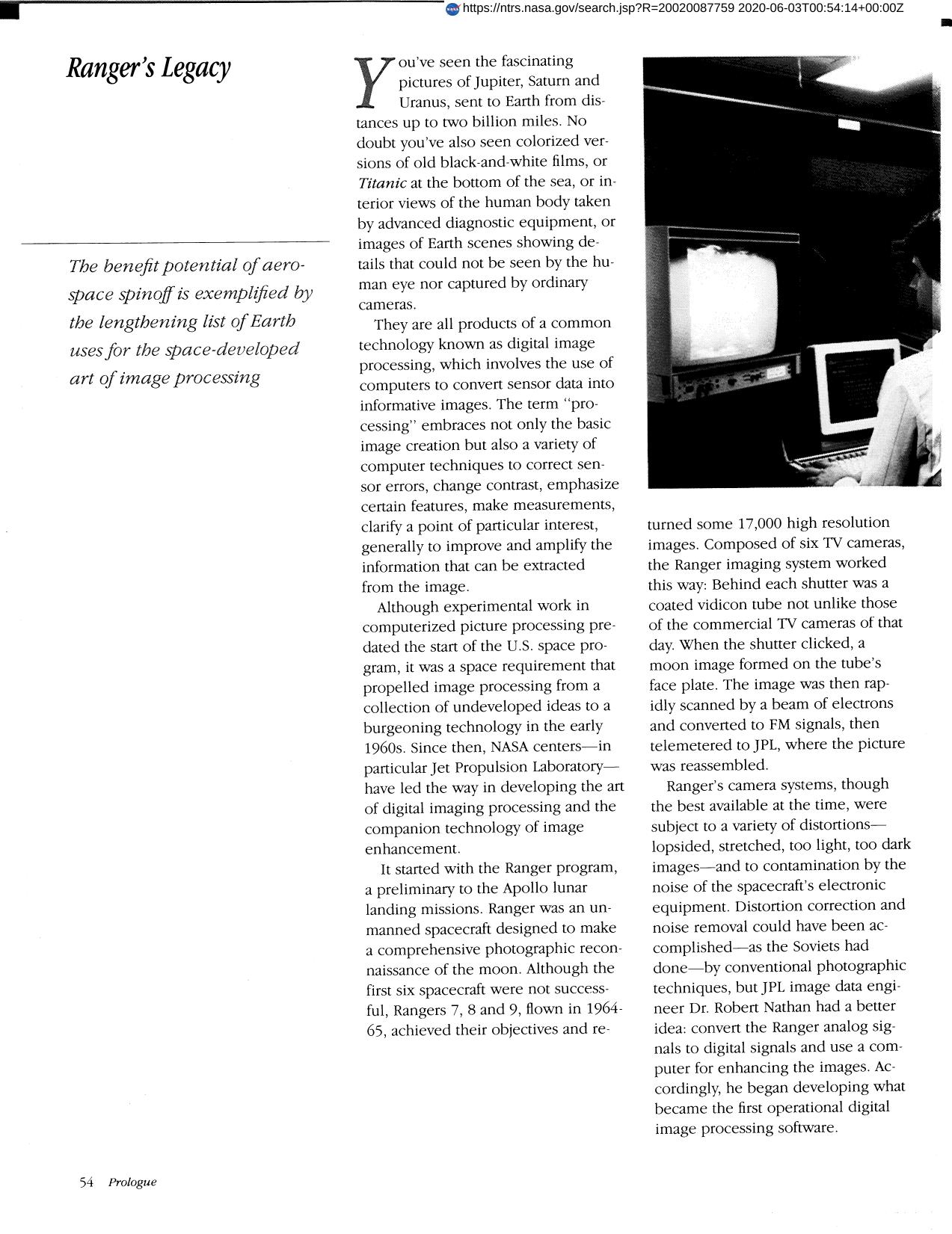
Ranger's Legacy
With its Landsat satellites, development of sensors, and advancement of processing techniques, NASA provided the initial technology base for another Earth-benefit application of image processing, Earth resources survey by means of remote sensing. Since each object has its own unique signature it is possible to distinguish among surface features and to generate computer-processed imagery identifying specific features of importance to resource managers. This capability, commercialized by Perceptive Scientific Instruments, Inc., offers practical application in such areas as agricultural crop forecasting, rangeland and forest management, land use planning, mineral and petroleum exploration, map making, water quality evaluation and disaster assessment. Major users of the technology have been federal, state, and local governments, but it is making its way into commercial operations, for example, resource exploration companies looking for oil, gas and mineral sources, and timber production firms seeking more efficient treeland management. Supporting both government and private users is a small industry composed of companies producing the processing hardware software. As is the case in the medical application, many of these companies are direct offspring of NASA's work.
Full article: http://hdl.handle.net/hdl:2060/20020087759
Ranger's Legacy
Ranger's Legacy