
View From the Sky Helps Predict Crop Yields
Subheadline
NASA Harvest brings satellite data, crop prediction function to farming app
When SIMA began working with NASA Harvest in 2020, the Argentinian agricultural technology company had already been gathering crop data for years.
SIMA, or Sistema Integrado de Monitoreo Agrícola, sells a data collection tool that helps farmers track and digitize the situations in their own fields.
The collaboration with NASA Harvest, the space agency’s agriculture consortium led by researchers at the University of Maryland, brought crop-yield prediction capability to the company’s app through a feature called SIMA Harvest.
“It’s a sought-after feature because in agriculture it’s very important to know how much a crop is going to yield by the end of the season,” said SIMA CEO Andres Yerkovich. “Having an algorithm that has more precision than a human estimation is very useful.”
SIMA’s main app, available for download on Apple and Android devices, gathers data from farmers in their own fields documenting what they’ve planted, what machinery was required, weather conditions, and what weeds, pests, or disease they encountered and the treatments they administered.
“The idea is to standardize all of this information in a way that is comparable between different users doing the same task in several locations and also for these data to be comparable over time, from one year to the next,” Yerkovich said.
Headquartered in Rosario, Argentina, SIMA’s strong relationships with farmers throughout Latin America and its extensive, high-quality field data made the company a good fit for collaboration with NASA Harvest.
“We brought expertise in Earth-observation data and machine learning methods to track crop conditions throughout the growing season,” said Ritvik Sahajpal, a professor in the University of Maryland’s Geographical Sciences Department and a NASA Harvest developer who worked with SIMA.
Sahajpal noted that SIMA’s strengths worked well with those of NASA Harvest. “Where we brought in expertise in applying machine learning models to Earth-observation data, they contributed knowledge on local agro-meteorological conditions and their impacts on crop growth.”
The science development was led by NASA Harvest researchers, who wrote a paper and gave a presentation on the project.
Yerkovich noted that SIMA’s data, which the company calls “ground truth,” complemented the information NASA Harvest drew from satellite images.
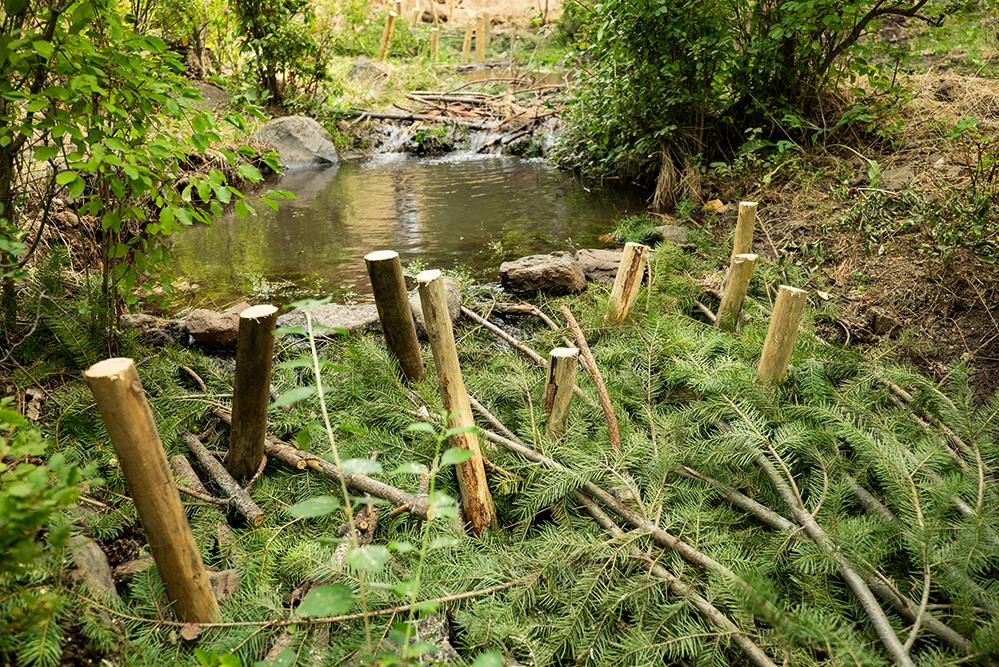
“Of course, satellite images are among NASA’s primary assets, and they do a great job getting information from the crops and the fields from space,” Yerkovich said. “But there are certain variables that you cannot observe from the sky, and that’s where SIMA comes in, because our data comes directly from users standing in the field.”
For SIMA, which was founded in 2013 and now has offices throughout South America and in Mexico, the collaboration “was a big opportunity,” Yerkovich said.
Working with NASA and the University of Maryland served as an acknowledgement of the company’s achievement, he said. “We were very enthusiastic about developing those relationships and the product itself.”
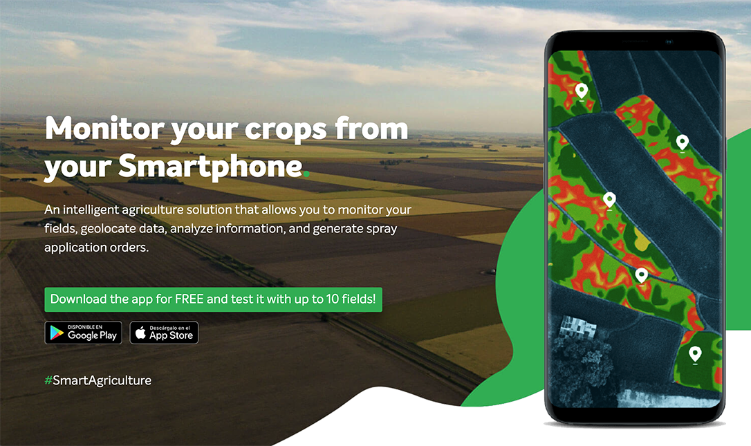
SIMA’s app helps farmers document and track what they’ve planted, what machinery was required, weather conditions, and what weeds, pests, or disease they encountered and the treatments they administered. Credit: SIMA Software Corp.
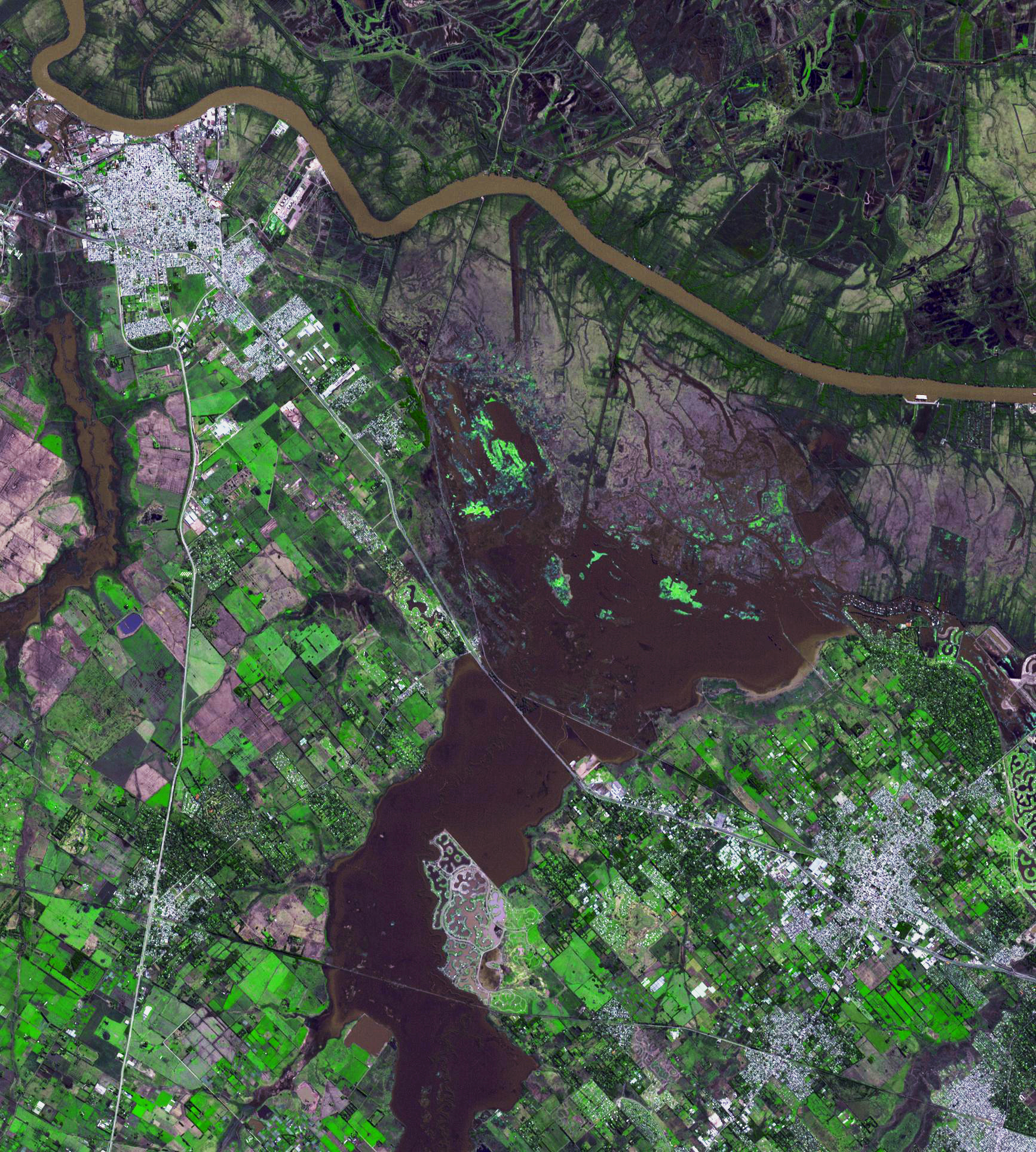
NASA satellite imagery provides information that can help farmers predict crop yields. The Advanced Spaceborne Thermal Emission and Reflection Radiometer (ASTER) instrument on NASA’s Terra spacecraft captured this image northwest of Buenos Aires, Argentina, in 2015, after days of torrential rains. Credit: NASA