
Forest Fire Mapping
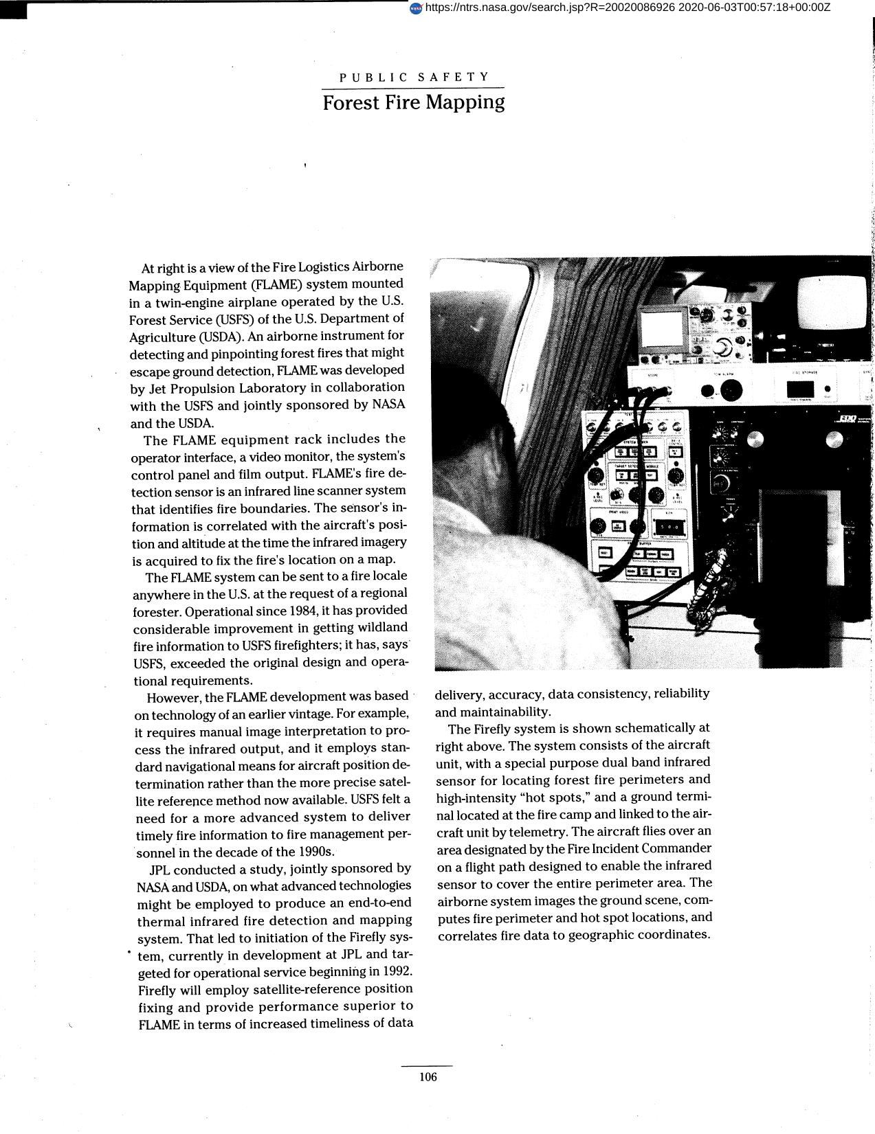
The Fire Logistics Airborne Mapping Equipment (FLAME) system, mounted in a twin-engine and airplane operated by the U.S. Forest Service (USFS) of the U.S. Department of Agriculture (USDA), is an airborne instrument for detecting and pinpointing forest fires that might escape ground detection. The FLAME equipment rack includes the operator interface, a video monitor, the system's control panel and film output. FLAME's fire detection sensor is an infrared line scanner system that identifies fire boundaries. Sensor's information is correlated with the aircraft's position and altitude at the time the infrared imagery is acquired to fix the fire's location on a map. System can be sent to a fire locale anywhere in the U.S. at the request of a regional forester. USFS felt a need for a more advanced system to deliver timely fire information to fire management personnel in the decade of the 1990s. The Jet Propulsion Laboratory (JPL) conducted a study, jointly sponsored by NASA and USDA, on what advanced technologies might be employed to produce an end-to-end thermal infrared fire detection and mapping system. That led to initiation of the Firefly system, currently in development at JPL and targeted for operational service beginning in 1992.
Full article: http://hdl.handle.net/hdl:2060/20020086926
Forest Fire Mapping
Forest Fire Mapping