Space Data for Crop Management
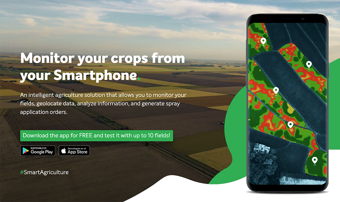
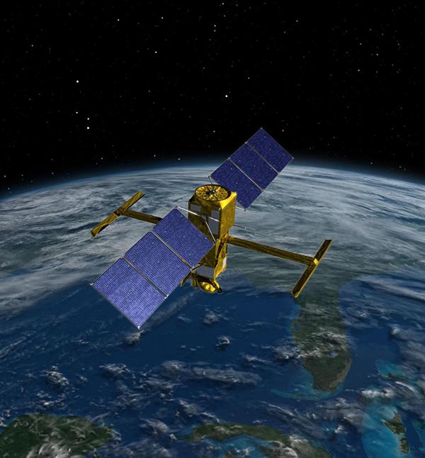
CROPIX, Inc., formed in 1984 by Frank Lamb, president of the Eastern Oregon Farming Company, monitors primarily potato crops in a 20,000 square mile area of northern Oregon and central Washington. Potatoes are a high value specialty crop that can be more profitable to the farmer if he has advance knowledge of market conditions, knows when to harvest, and when to take it to market. By processing and collecting data collected by the NASA-developed Landsat Earth Resources survey satellites, Lamb is able to provide accurate information on crop acreage and conditions on a more timely basis than the routine estimates by the USDA. CROPIX uses Landsat data to make acreage estimates of crops, and to calculate a field-by-field vegetative index number. CROPIX then distributes to its customers a booklet containing color-coded maps, an inventory of crops, plus data and graphs on crop conditions and other valuable information.
Full article: http://hdl.handle.net/hdl:2060/20020086980

Space Data for Crop Management

Space Data for Crop Management


