
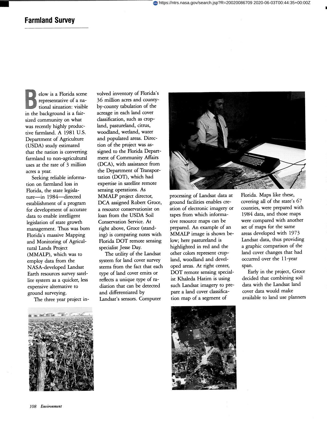

Farmland Survey
A 1981 U.S. Department of Agriculture (USDA) study estimated that the nation is converting farmland to non-agricultural uses at the rate of 3 million acres a year. Seeking information on farmland loss in Florida, the state legislature, in 1984, directed establishment of a program for development of accurate data to enable intelligent legislation of state growth management. Thus was born Florida's massive Mapping and Monitoring of Agricultural Lands Project (MMALP). It employs data from the NASA-developed Landsat Earth resources survey satellite system as a quicker, less expensive alternative to ground surveying. The 3 year project involved inventory of Florida's 36 million acres classifying such as cropland, pastureland, citrus, woodlands, wetland, water and populated areas. Direction was assigned to Florida Department of Community Affairs (DCA) with assistance from the DOT. With the cooperation of the USDA, Soil Conservation Service, DCA decided that combining soil data with the Landsat land cover data would make available to land use planners a more comprehensive view of a county's land potential.
Full article: http://hdl.handle.net/hdl:2060/20020086709
Farmland Survey
Farmland Survey


