

Subsurface Mapping
Originally published in 1985
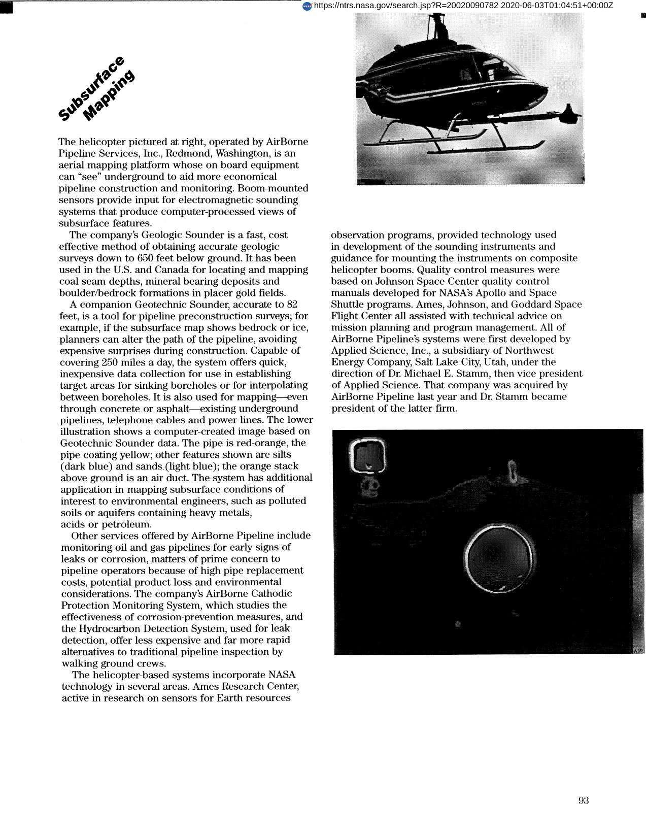
Body
Target areas for sinking base holes, underground pipelines, etc., can be identified with the assistance of NASA Ames developed technology, by Airborne Pipeline Services, Inc. Subsurface features are computer processed; the system can cover 250 miles a day and was first developed by Applied Science, Inc.
Full article: http://hdl.handle.net/hdl:2060/20020090782
Abstract
Target areas for sinking base holes, underground pipelines, etc., can be identified with the assistance of NASA Ames developed technology, by Airborne Pipeline Services, Inc. Subsurface features are computer processed; the system can cover 250 miles a day and was first developed by Applied Science, Inc.
Subsurface Mapping
Subsurface Mapping


