

Mapping Van
Originally published in 1994
Body
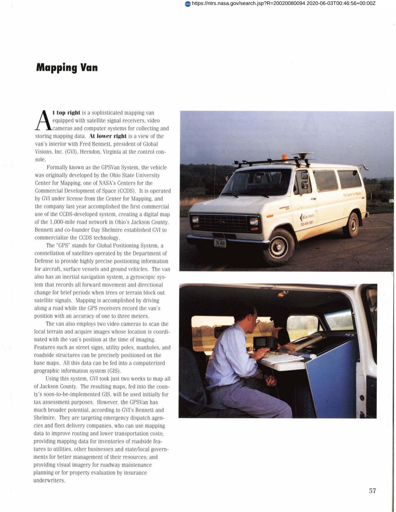
A NASA/CCDS - developed system for satellite mapping has been commercialized for the first time. Global Visions, Inc. maps an area while driving along a road in a sophisticated mapping van equipped with satellite signal receivers, video cameras and computer systems for collecting and storing mapping data. Data is fed into a computerized geographic information system (GIS). The resulting amps can be used for tax assessment purposes, emergency dispatch vehicles and fleet delivery companies as well as other applications.
Full article: http://hdl.handle.net/hdl:2060/20020080094
Abstract
A NASA/CCDS - developed system for satellite mapping has been commercialized for the first time. Global Visions, Inc. maps an area while driving along a road in a sophisticated mapping van equipped with satellite signal receivers, video cameras and computer systems for collecting and storing mapping data. Data is fed into a computerized geographic information system (GIS). The resulting amps can be used for tax assessment purposes, emergency dispatch vehicles and fleet delivery companies as well as other applications.
Mapping Van
Mapping Van


