

Contour Mapping
Originally published in 1995
Body
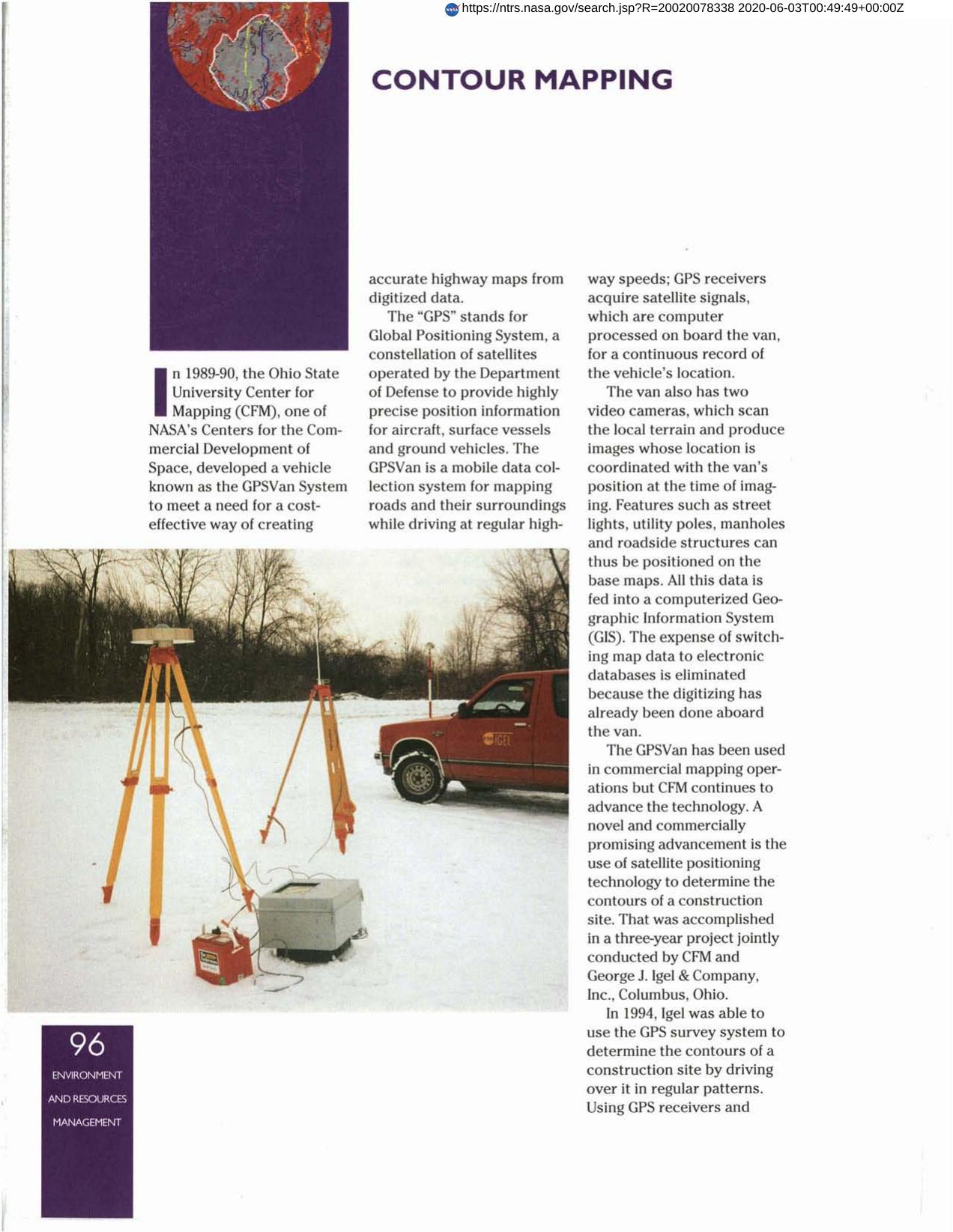
In the early 1990s, the Ohio State University Center for Mapping, a NASA Center for the Commercial Development of Space (CCDS), developed a system for mobile mapping called the GPSVan. While driving, the users can map an area from the sophisticated mapping van equipped with satellite signal receivers, video cameras and computer systems for collecting and storing mapping data. George J. Igel and Company and the Ohio State University Center for Mapping advanced the technology for use in determining the contours of a construction site. The new system reduces the time required for mapping and staking, and can monitor the amount of soil moved.
Full article: http://hdl.handle.net/hdl:2060/20020078338
Abstract
In the early 1990s, the Ohio State University Center for Mapping, a NASA Center for the Commercial Development of Space (CCDS), developed a system for mobile mapping called the GPSVan. While driving, the users can map an area from the sophisticated mapping van equipped with satellite signal receivers, video cameras and computer systems for collecting and storing mapping data. George J. Igel and Company and the Ohio State University Center for Mapping advanced the technology for use in determining the contours of a construction site. The new system reduces the time required for mapping and staking, and can monitor the amount of soil moved.
Contour Mapping
Contour Mapping


