

Airborne Remote Sensing
Originally published in 1992
Body
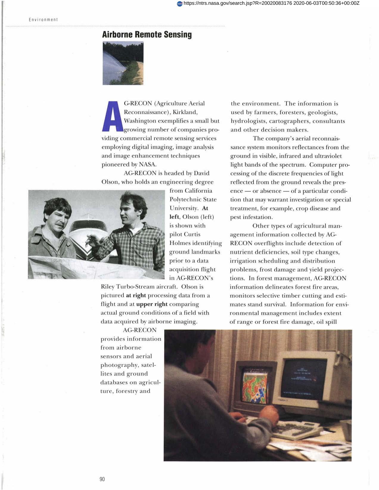
NASA imaging technology has provided the basis for a commercial agricultural reconnaissance service. AG-RECON furnishes information from airborne sensors, aerial photographs and satellite and ground databases to farmers, foresters, geologists, etc. This service produces color maps" of Earth conditions which enable clients to detect crop color changes or temperature changes that may indicate fire damage or pest stress problems."
Full article: http://hdl.handle.net/hdl:2060/20020083176
Abstract
NASA imaging technology has provided the basis for a commercial agricultural reconnaissance service. AG-RECON furnishes information from airborne sensors, aerial photographs and satellite and ground databases to farmers, foresters, geologists, etc. This service produces color maps" of Earth conditions which enable clients to detect crop color changes or temperature changes that may indicate fire damage or pest stress problems."
Airborne Remote Sensing
Airborne Remote Sensing


