
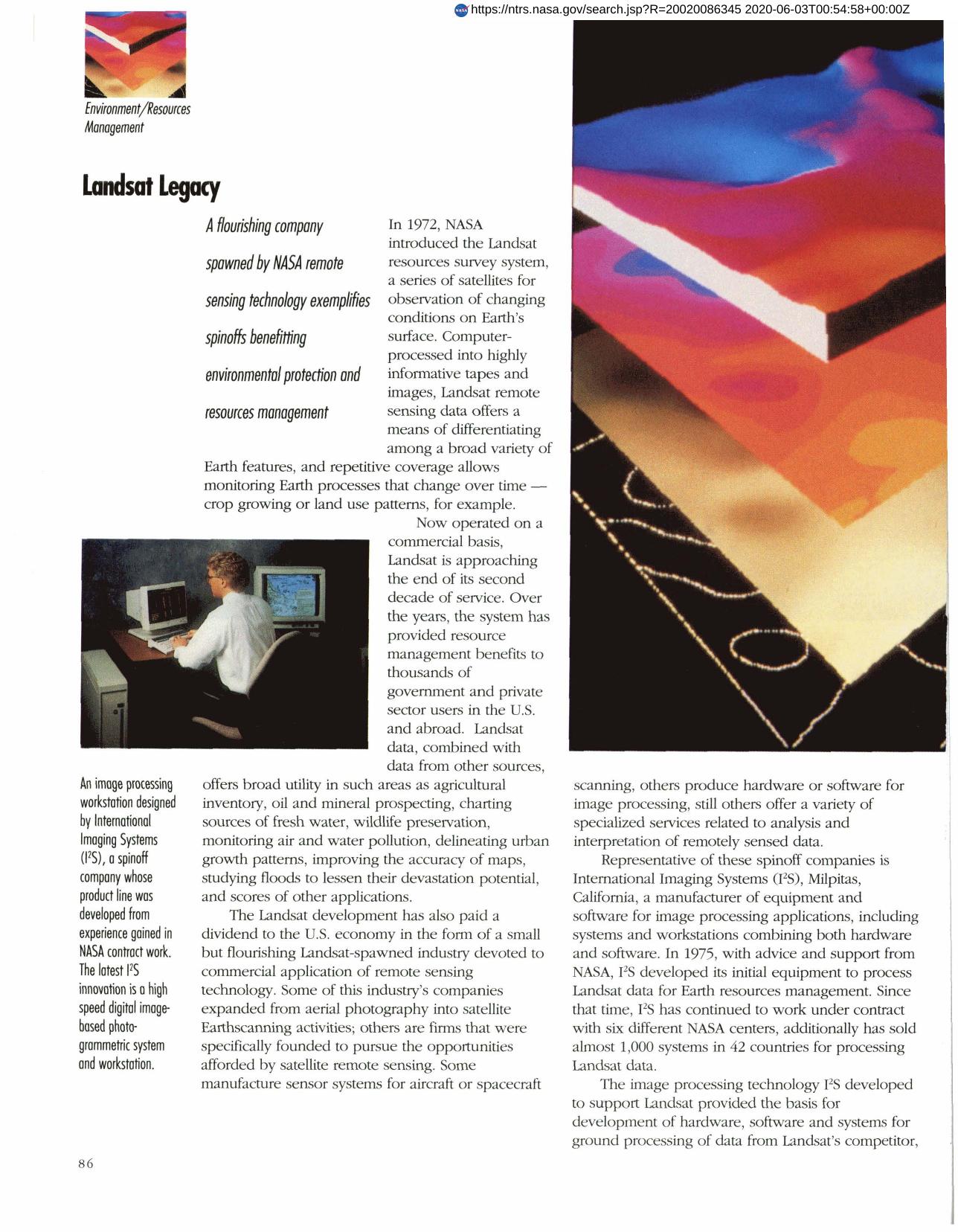

Landsat Legacy
The Landsat resources survey system spawned a number of companies engaged in commercial applications of remote sensing, among them International Imaging Systems (I2S). With initial NASA assistance, I2S has provided remote sensing hardware and software to several foreign countries, developed meteorological analysis systems, medical diagnostic software and scanning equipment for government and commercial use. Latest product is an advanced image-based photogrammetric system employing digital technology - not optical or mechanical systems - to generate terrain elevation data and other processing functions. Called PRI2SM, it compensates automatically for topographic relief displacement, is cheaper, faster, and easier to use and maintain. Company product line includes four major areas: image processing equipment for Earth Resources Management; meteorological analysis systems; satellite ground processing systems; and digital photogrammetric mapping systems.
Full article: http://hdl.handle.net/hdl:2060/20020086345
Landsat Legacy
Landsat Legacy


