

Surveying System
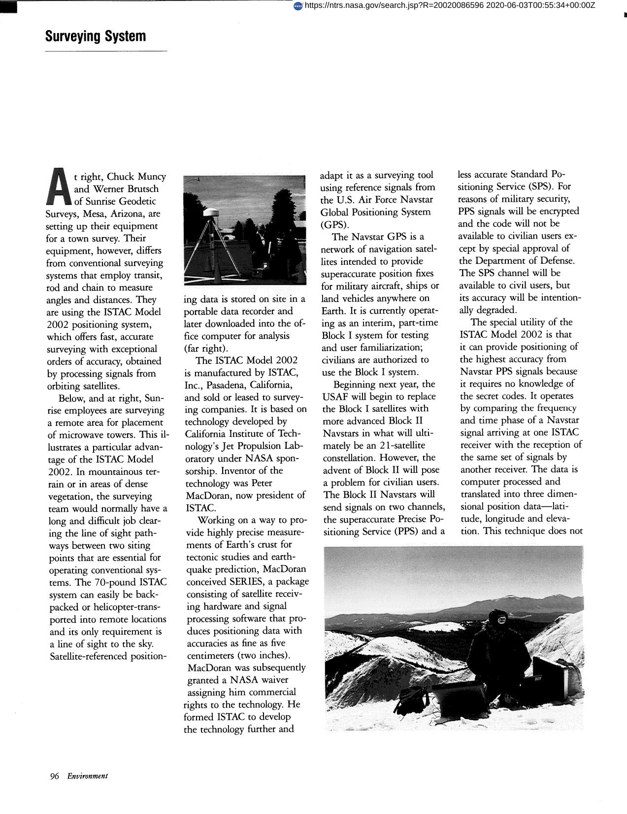
Sunrise Geodetic Surveys are setting up their equipment for a town survey. Their equipment differs from conventional surveying systems that employ transit rod and chain to measure angles and distances. They are using ISTAC Inc.'s Model 2002 positioning system, which offers fast accurate surveying with exceptional signals from orbiting satellites. The special utility of the ISTAC Model 2002 is that it can provide positioning of the highest accuracy from Navstar PPS signals because it requires no knowledge of secret codes. It operates by comparing the frequency and time phase of a Navstar signal arriving at one ISTAC receiver with the reception of the same set of signals by another receiver. Data is computer processed and translated into three dimensional position data - latitude, longitude and elevation.
Full article: http://hdl.handle.net/hdl:2060/20020086596
Surveying System
Surveying System


