

Land Use Planning
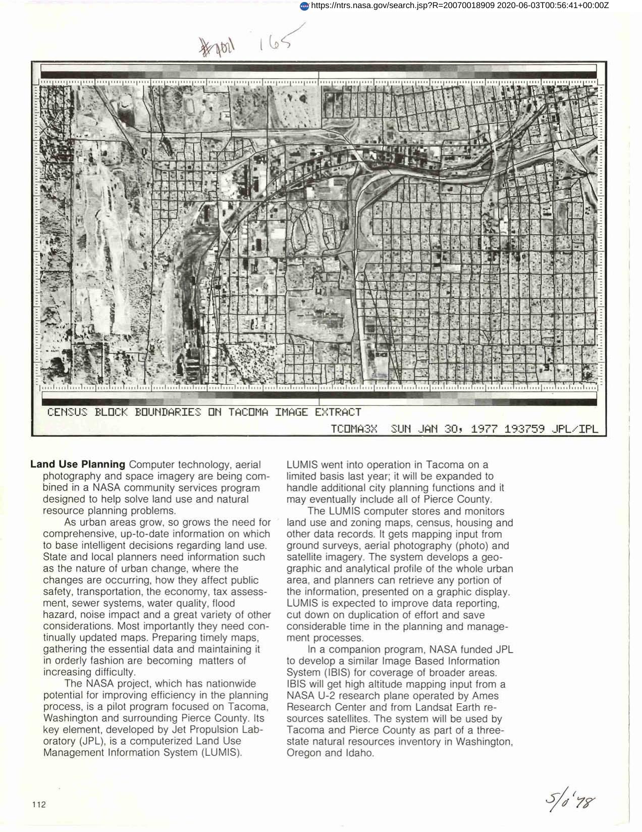
NASA project which has nationwide potential for improving efficiency in planning process is pilot program focused on Tacoma, Washington and surrounding Pierce County. Key element is Land Use Management Information System (LUMIS). LUMIS computer stores and monitors land use and zoning maps, census, housing and other data records. It gets mapping input from ground surveys, aerial photography and satellite imagery. System develops a geographic and analytical profile of whole urban area, and planners can retrieve any portion of information presented on a graphic display. LUMIS is expected to improve data reporting, cut down on duplication of effort, and save considerable time in planning and management processes.
Full article: http://hdl.handle.net/hdl:2060/20070018909
Land Use Planning
Land Use Planning


