Citrus Grove Mapping
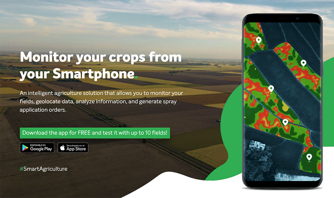
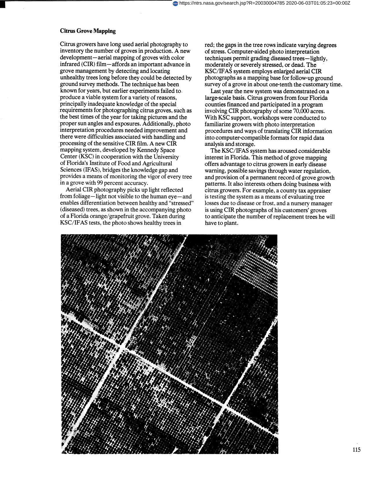
Citrus growers have long used aerial photography to inventory the number of groves in production. A new development at Kennedy Space Center, aerial mapping of groves with color infrared (CIR) film, affords an important advance in grove management by detecting and locating unhealthy trees long before they could be detected by ground survey methods. Aerial CIR photography picks up light reflected from foliage--light not visible to the human eye--and enables differenciation between healthy and stressed" (diseased) trees of a Florida orange/grapefruit grove. Computer aided photo interpretation techniques permit grading diseased trees lightly moderately or severely stressed or dead. Method of grove mapping has offered advantage to growers in early disease warning possible savings through water regulation and provision of a permanent record of grove growth patterns."
Full article: http://hdl.handle.net/hdl:2060/20030004785

Citrus Grove Mapping

Citrus Grove Mapping


