

Earthquake Information System
Originally published in 1991
Body
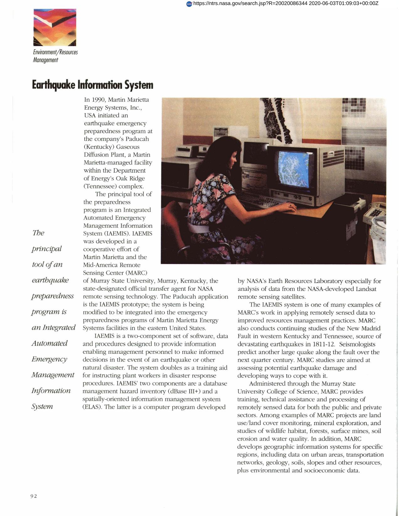
IAEMIS (Integrated Automated Emergency Management Information System) is the principal tool of an earthquake preparedness program developed by Martin Marietta and the Mid-America Remote Sensing Center (MARC). It is a two-component set of software, data and procedures to provide information enabling management personnel to make informed decisions in disaster situations. The NASA-developed program ELAS, originally used to analyze Landsat data, provides MARC with a spatially-oriented information management system. Additional MARC projects include land resources management, and development of socioeconomic data.
Full article: http://hdl.handle.net/hdl:2060/20020086344
Abstract
IAEMIS (Integrated Automated Emergency Management Information System) is the principal tool of an earthquake preparedness program developed by Martin Marietta and the Mid-America Remote Sensing Center (MARC). It is a two-component set of software, data and procedures to provide information enabling management personnel to make informed decisions in disaster situations. The NASA-developed program ELAS, originally used to analyze Landsat data, provides MARC with a spatially-oriented information management system. Additional MARC projects include land resources management, and development of socioeconomic data.
Earthquake Information System
Earthquake Information System


