

Making Sense of Remotely Sensed Ultra-Spectral Infrared Data
Data acquired from very high spectral resolution monitoring of the Earth's atmosphere provides an overwhelming amount of information. This information is gathered when thermal infrared radiation passes through the Earth's atmosphere and reaches a sensor. The infrared radiation forms a highly convolved signal, containing both emission and absorption, from the entire length of the ray path. To harness this data, NASA's Jet Propulsion Laboratory (JPL), Pasadena, California, Earth Observing System (EOS) programs, the Deep Space Network (DSN), and various Department of Defense (DOD) technology demonstration programs, combined their technical expertise to develop the software, SEASCRAPE.
SEASCRAPE, licensed by the California Institute of Technology (Caltech), automatically inverts complex infrared data and makes it possible to obtain estimates of the state of the atmosphere along the ray path. Former JPL staff members created a small entrepreneurial firm, Remote Sensing Analysis Systems, Inc., of Altadena, California, to commercialize the product. The founders believed that a commercial version of the software was needed for future U.S. government missions and the commercial monitoring of pollution.
With the inversion capability of this software and remote sensing instrumentation, it is possible to monitor pollution sources from safe and secure distances on a noninterfering, noncooperative basis. The software allows the user to determine the presence of pollution products, their location and their abundance along the ray path.
The inversion process utilizes first principle physical modeling, rather than the usual differencing of observations. The capabilities of this technique allow for maximum sensitivity of the instrument. In addition, the inversion can be done on individual pixels if desired, meaning there is no inter-pixel dependence forced upon the analysis. The observer is free to make use of whatever data is available, without having to obtain data sets that are composed of pollution and pollution-free pixels for comparison.
Given that the inversion is a quantitative statistical product, not only are estimates of the pollution obtained, but also the uncertainties in those estimates. Knowing the uncertainty associated with each estimate is a very useful by-product of this technique. In short, one knows how much of a particular substance would have to be present under the observed scenario for the instrument to detect its presence. For pollution control conformance monitoring, that is as important a measurement as the detection of the pollution class itself.
This software, now known as SEASCRAPE_Plus, is currently available for Macintosh, HP, Sun, Dec, and Alpha machines in executable form. Porting it to PCs and to other UNIX/LINUX machines is straight-forward since the source code, while large (over one million lines), is written in ANSI Standard C. Currently, the graphical user interface (GUI) used to interact with the code, is written in Interactive Data Language, (IDL). The software has been cleared by the Department of Commerce for export, and is currently used by numerous research and engineering organizations around the world. Hopefully, SEASCRAPE will assist researchers in combating pollution.
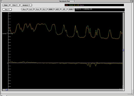
SEASCRAPE software allows the user to determine the presence of pollution products, their location, and their abundance.


