
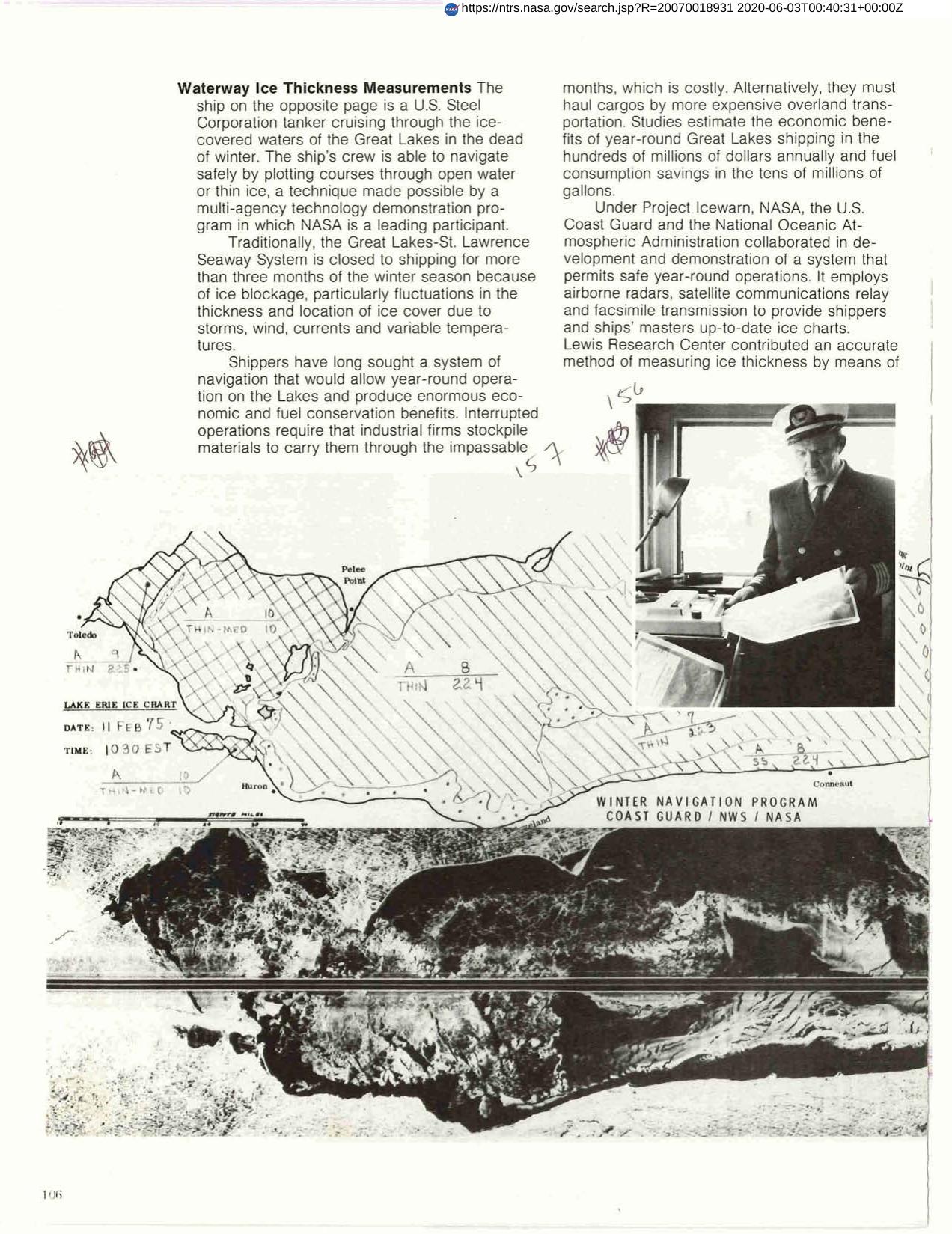

Waterway Ice Measurement
Shippers have long sought out a system of navigation that would allow year-round operation of the lakes and produce enormous economic and fuel conservation benefits. Under Project Icewarn, NASA, the U.S. Coast Guard and the National Oceanic Atmospheric Administration collaborated in development and demonstration of a system that permits safe year-round operations. It employs airborne radars, satellite communications, relay and facsimile transmission to provide shippers and ships' masters up-to-date ice charts and picture maps showing where ice-breakers can cut paths easily, or where shipping can move through thin ice without the aid of ice-breakers.
Full article: http://hdl.handle.net/hdl:2060/20070018931
Waterway Ice Measurement
Waterway Ice Measurement


