
Fighting Forest Fires
Originally published in 1993
Body
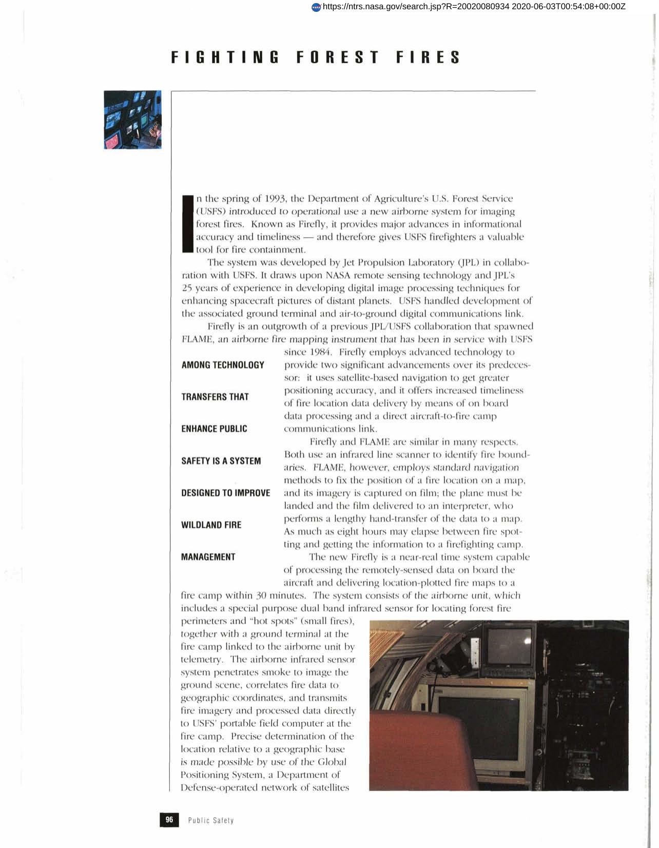
Firefly is an airborne system for imaging forest fires. It uses satellite-based navigation for greater positioning accuracy and offers timeliness in fire location data delivery with on board data processing and a direct aircraft-to-fire camp communications link. Developed by Jet Propulsion Laboratory and the USFS, it has an infrared line scanner to identify fire boundaries and an infrared sensor system that can penetrate smoke to image the ground. Firefly is an outgrowth of a previous collaboration that produced FLAME, an airborne fire mapping instrument. Further refinements are anticipated by NASA and the USFS.
Full article: http://hdl.handle.net/hdl:2060/20020080934
Abstract
Firefly is an airborne system for imaging forest fires. It uses satellite-based navigation for greater positioning accuracy and offers timeliness in fire location data delivery with on board data processing and a direct aircraft-to-fire camp communications link. Developed by Jet Propulsion Laboratory and the USFS, it has an infrared line scanner to identify fire boundaries and an infrared sensor system that can penetrate smoke to image the ground. Firefly is an outgrowth of a previous collaboration that produced FLAME, an airborne fire mapping instrument. Further refinements are anticipated by NASA and the USFS.
Fighting Forest Fires
Fighting Forest Fires