

Citrus Inventory
Originally published in 1994
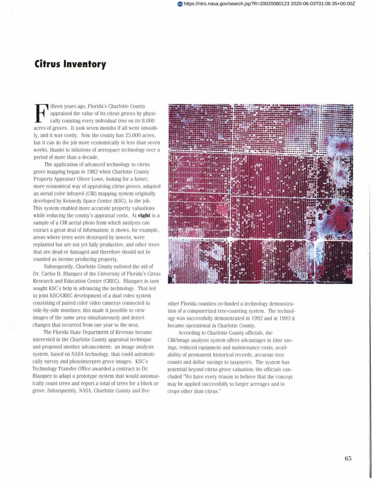
Body
An aerial color infrared (CIR) mapping system developed by Kennedy Space Center enables Florida's Charlotte County to accurately appraise its citrus groves while reducing appraisal costs. The technology was further advanced by development of a dual video system making it possible to simultaneously view images of the same area and detect changes. An image analysis system automatically surveys and photo interprets grove images as well as automatically counts trees and reports totals. The system, which saves both time and money, has potential beyond citrus grove valuation.
Full article: http://hdl.handle.net/hdl:2060/20020080123
Abstract
An aerial color infrared (CIR) mapping system developed by Kennedy Space Center enables Florida's Charlotte County to accurately appraise its citrus groves while reducing appraisal costs. The technology was further advanced by development of a dual video system making it possible to simultaneously view images of the same area and detect changes. An image analysis system automatically surveys and photo interprets grove images as well as automatically counts trees and reports totals. The system, which saves both time and money, has potential beyond citrus grove valuation.
Citrus Inventory
Citrus Inventory


